PS (Professional Licensed Surveyor) Test: Your Guide
Starting a career as a professional land surveyor means knowing the industry’s rules and licenses well. The PS (Professional Licensed Surveyor) Test is key to getting your surveying license. It lets you do boundary, construction, geodetic, photogrammetric, cadastral, and GIS mapping surveys in the U.S. This guide will get you ready for the PS Test. It will give you the knowledge and tips to pass this important exam.

Key Takeaways
- The PS Test is a crucial certification exam for land surveyors in the United States.
- Understanding the test’s format, content, and scoring is essential for effective preparation.
- Familiarizing yourself with surveying regulations, principles, and best practices can significantly improve your performance.
- Developing effective test-taking strategies, such as time management and critical thinking, can boost your chances of passing the exam.
- Continuous learning and staying up-to-date with industry trends and technologies can enhance your knowledge and competency as a professional land surveyor.
Understanding the PS (Professional Licensed Surveyor) Test
To become a professional land surveyor, you need a surveying certification. This usually means passing the PS (Professional Surveyor) exam. The test checks your knowledge, skills, and if you follow industry rules.
What is a Professional Land Surveyor?
A professional land surveyor is very skilled. They measure, map, and define land boundaries. They work in many fields, like boundary surveys and construction surveys.
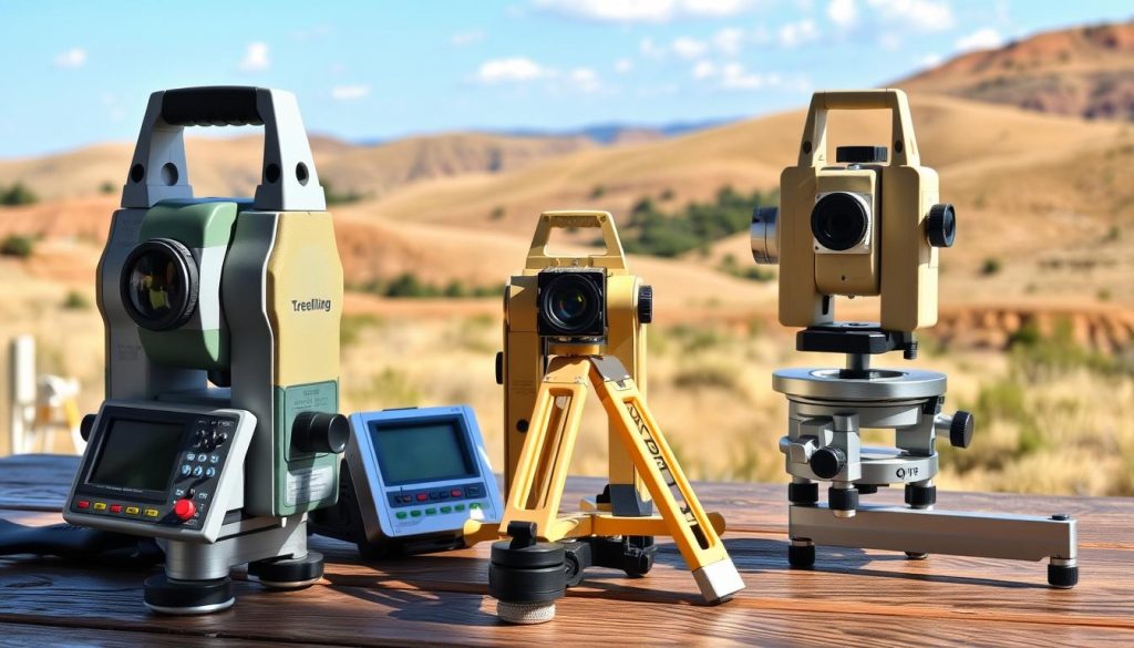
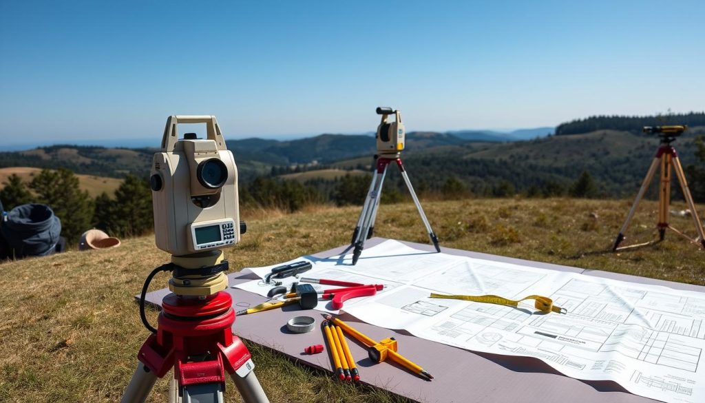
They use surveying instruments and surveying software for precise work.
Importance of Surveying Certification
Getting a surveying certification, like the PS (Professional Surveyor) license, is key. It shows you know surveying principles and follow rules. The surveyor licensing process checks your skills.
It includes tests like the boundary survey test and cadastral mapping assessment. This makes sure only the best professionals do the job.
| Surveying Certification Requirements | Typical Exam Domains |
|---|---|
|
|

Preparing for the PS Exam
To pass the Professional Surveyor (PS) exam, you need to prepare well and plan smart. Whether you want to get your surveying license or update your credentials, knowing the test and how to take it are key steps.
Study Resources and Materials
Starting with a good study plan is crucial. Luckily, many study resources and materials can help you feel ready for the surveying exam:
- Official surveying board exam study guides and practice tests from your state’s regulatory body
- Online professional surveying test prep courses and tutorials
- Textbooks and reference materials made for the geomatics licensing exam
- Talking to experienced professional licensed surveyors and going to industry events for tips
Test-Taking Strategies
Knowing how to take the test is just as important as knowing the material. Here are some tips for the professional survey exam:
- Learn the exam format, question types, and time limits to plan your strategy
- Work on listening and reading well to understand each question fully
- Use good time management to stay on pace and avoid rushing
- Get familiar with the formulas, conversion tables, and reference materials you can use during the exam
With the right study resources and materials and smart test-taking strategies, you can feel confident in the surveying qualification or surveying regulatory exam. This will help you succeed.

PS (Professional Licensed Surveyor) Test Domains
The PS (Professional Licensed Surveyor) Test covers many important areas. These include boundary surveying, construction surveying, and geodetic surveying. You’ll also learn about photogrammetric mapping, cadastral surveying, and GIS mapping. Mastering these skills is key to passing the exam.
Boundary surveying is about finding property lines and boundaries. It uses legal descriptions, deed research, and field measurements. Construction surveying focuses on laying out buildings, roads, and infrastructure with precision.
Geodetic surveying maps the Earth’s surface using advanced methods like triangulation and GPS. Photogrammetric mapping uses aerial and satellite images to create detailed maps and models. Cadastral surveying handles legal land ownership and property rights.
GIS mapping combines data from different sources for analysis and visualization. Being good in these areas will help you pass the PS (Professional Licensed Surveyor) Test. It also prepares you for the duties of a licensed surveyor.