FREE SMQT Introduction to Surveying Questions and Answers
Which surveying instrument is that in the picture?
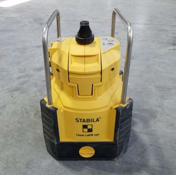
Correct!
Wrong!
Determining the dimensions and form of the earth is the focus of __________________ surveying. Large areas, such as a state or county, would be surveyed using this type.
Correct!
Wrong!
What kind of surveying tool is that in the photo?
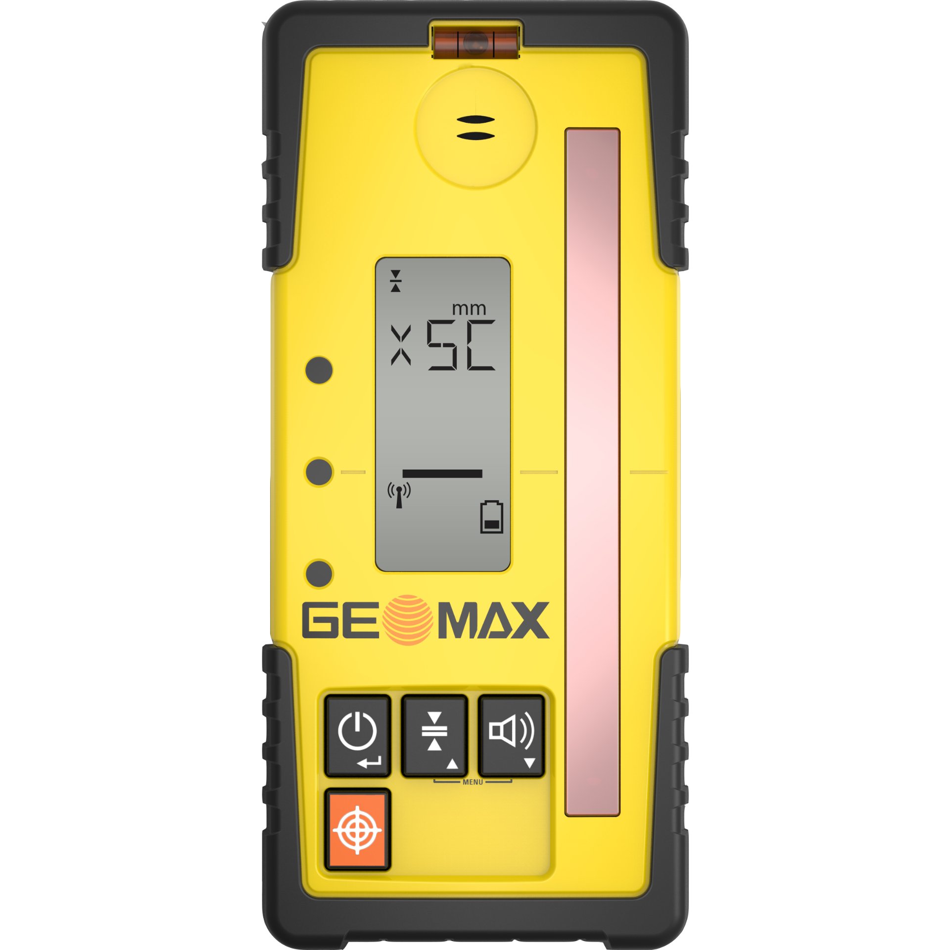
Correct!
Wrong!
A line that is perpendicular to the direction of gravity and tangential to a level line at a certain location is called a _______________________________ line.
Correct!
Wrong!
_______________________ surveying works with small-scale regions and makes the assumption that the earth's surface is a plane, meaning that no adjustments for the curvature of the earth are required.
Correct!
Wrong!
Surveyors use this for fixed points of reference that are known to be elevated above or below a specific datum.
Correct!
Wrong!
Which two purposes does surveying serve?
Correct!
Wrong!
Which kind of survey is shown in the image?
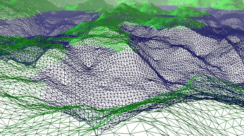
Correct!
Wrong!
_______________________ surveying works with small-scale regions and makes the assumption that the earth's surface is a plane, meaning that no adjustments for the curvature of the earth are required.
Correct!
Wrong!
The measurement and mapping of the earth's physical features—both natural and man-made—are the focus of __________________________ surveys.
Correct!
Wrong!
What does the imaginary line that crosses the crosshairs of the leveling instrument mean?
Correct!
Wrong!